If you’re reading this, odds are that you’re familiar with the Global Positioning System (GPS). And odds are that you use it on a daily basis, whether it’s your phone’s turn-by-turn directions or the mapping system in your car. But while we’ve all become accustomed to GPS, how much do you really know about it? What you may not have heard of, however, is Galileo. The Galileo satellite navigation system was created by the European Union.
Like its counterparts GPS and Glonass, it also provides accurate positioning and timing information to users worldwide. It’s the new kid on the block in terms of satellite navigation but crucially it’s also one of the cornerstones of Europe’s innovation capacity. Galileo is an important component of the European Union’s technological and scientific strategy and it has invested over €11 billion in its development.
Galileo – “The European GPS” Overview
- European system
- Increased accuracy & enhanced navigation
- Autonomous & interoperable with both GPS and GLONASS
- Controlled by civilians
- Open Service – available to everybody
- Enhanced Search & Rescue Capabilities
- Encrypted government functions
What exactly is the Galileo satellite?
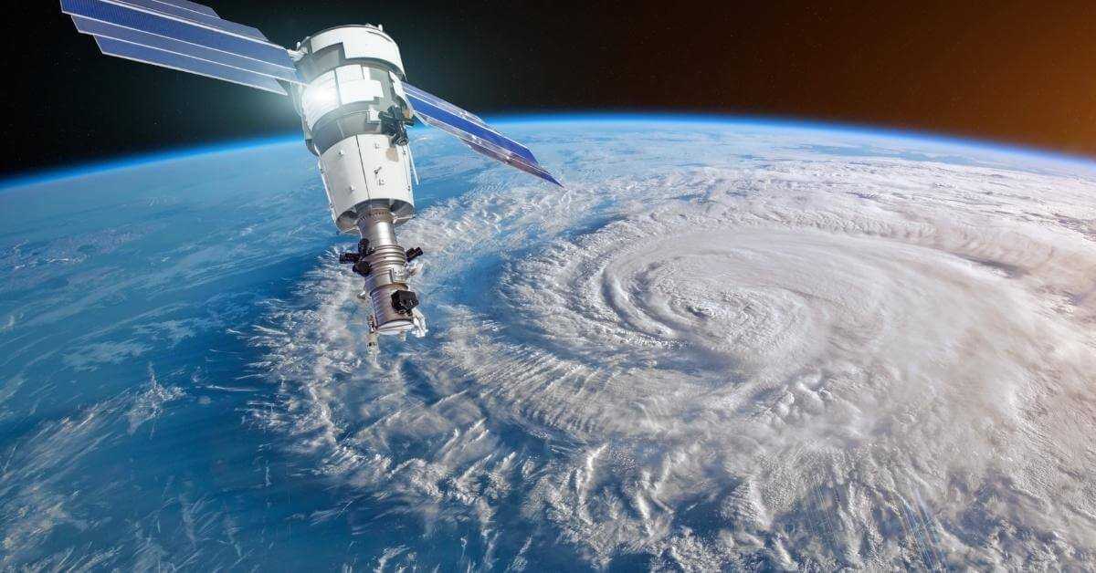
Galileo is the first European satellite navigation system, which aims to provide a highly accurate, guaranteed global positioning service under civilian control. It will offer global coverage, reliability, and performance for civil, security, economic and scientific applications. It was developed and built by the European Space Agency (ESA), with the first satellite, Galileo IOV-1, having been launched into orbit on 21 October 2011 using a Soyuz ST-B/Fregat-MT rocket.
The project, which is funded and run by the European Union, began in 2003 with an initial budget of €3 billion. It will be fully interoperable with the GPS (US) and GLONASS (Russian Federation) constellations.
Why does the EU need Galileo?
This is a good question, particularly, as they continue to have access to both the ey.
Fitness – wearable technology can provide you with the distance of your run, the time it took, and even the number of calories that you’ve consumed.
Financial – businesses can check and verify financial transactions in milliseconds.
Entertainment – a number of games and activities utilize the technology in order to provide a better gaming experience. Geocaching is a prime example of a location-based activity. You can check out our easy geocaching guide here.
Emergency Services – the technology enables emergency responders the ability to find with pinpoint accuracy somebody in trouble. This enables them to trigger a (hopefully!) successful rescue on land or on the sea.
Tracking Capabilities – businesses can monitor and check the location of their fleets of vehicles in real-time thus ensuring efficiency and the safety of their employees.
Economics
Huge parts of the economy rely upon accurate satellite navigation in order for their businesses to function effectively. The EU estimates that 7% of their economy depends on some form of GPS and that the industry will be worth around €250 billion a year by 2022. These are huge numbers and in this context, it becomes pretty obvious why Europe has continued to develop and fund this technology.
Technological Independence
By developing its own satellite constellation the EU can become independent of other positioning services. It will no longer need to wholly rely upon GPS and Glonass. Other countries have also taken this route, albeit, perhaps for some different reasons to the EU.
India undertook to develop its own system after access to the GPS data was denied to them during an incident in the the Kargil region in 1999. This spurred them on to speed up and progress with their IRNSS project. This has provided India with the ability to monitor their entire country in addition to a 1500 km radius beyond their borders.
Improved Accuracy
A recent report by the European Space Agency (ESA) has claimed that the Galileo satellite system is now more accurate than the current GPS system. This is backed up by a recent study that concluded that Galileo was shown to improve positioning accuracy by over 29%. This improvement can be explained by the satellites orbiting at a further distance from the earth than GPS or Glonass.
This enables Galileo to provide better accuracy when you are located closer to the North or South poles, but also if you are surrounded by taller buildings or overgrowth. Densely populated urban areas, in particular, will benefit from this improvement in precision.
How many satellites are in the Galileo constellation?
There are 24 active satellites with an additional 6 spare satellites providing backup. This, therefore, makes 30 in total orbiting the earth at over 23,000 km away.
Search & Rescue Service (SAR)
The Galileo search and rescue (SAR) service is an essential part of the Galileo system. It is designed to detect and locate distress signals from emergency beacons carried by aircraft, vehicles, and vessels, and to enable a response by local authorities. The system can locate emergency beacons and then forward the navigation signals via a geostationary satellite to the ground-based rescue and coordination centres.
The Galileo search and rescue service is based on “search and rescue transponder” (SART) technology. It is a tool that detects emergency beacons (ELTs and PLBs) and forwards their position to the rescue coordination centers. These centers will then initiate a rescue operation.
Expanding SAR
The EU aims to provide a global search and rescue (SAR) service that will be available for free and open to all, including government agencies, during both peacetime and in crisis situations. It will also use space-based technology to monitor the environment and climate, manage disasters such as floods, and deliver high-tech services such as augmented reality and in-home entertainment.
In addition, satellite navigation is used in smartphones, connected watches, and cars, as well as to monitor the climate, manage disasters and deliver high-tech services. The mission of the (agency) is to ensure Europe is independent and autonomous in the provision of services based on satellite positioning, navigation, and timing data and to promote Europe’s interests and unique expertise in the global market.
Backup Plans
There was an outage suffered by the Galileo system in the middle of 2019 that lasted for nearly a week. There were some severe disruptions to the services, however, thankfully the search and rescue functions continued to work throughout the stability issues.
In order to protect users and to prevent any potential catastrophes, the reliability of the system is increased if access to other constellations continues to be maintained. Ships, aircraft, and vehicles having access to and using other GPS providers will provide a buffer against any potential failure of the system in the future.
Are there other GPS systems?
Yes, there are a number of other satellite navigation systems being used or are currently at the development stage.
Below is a list of the major systems:
Global Positioning System (GPS) – this is the best-known system. It was developed by the American military and was first launched over 40 years ago. and opened up to civilians by Ronald Reagan. It consists of a network of about 32 satellites, with at least 24 being active at any given point in time. With the aid of a GPS receiver, GPS devices can show your precise location.
GLONASS (Global Navigation Satellite System) – Glonass is a Global Navigation Satellite System (GNSS) similar to GPS that is operated by the Russian Federation. It provides real-time positioning and timing data to a range of users, such as surveyors, drivers, fleet operators, and governmental agencies. The satellites that comprise Glonass work together in order to create a redundant and reliable network, which is especially helpful in areas with poor visibility or during times of inclement weather.
BeiDou (BDS) – is a Chinese satellite navigation system, and is a competitor to GPS (Global Positioning System). Beidou has a limited regional scope, which is currently being expanded. Its regional scope refers to China, the Indian Ocean, and south-east Asia, which can be extended to cover the whole region.
IRNSS (Indian Regional Navigation Satellite System) – this was developed by India in order to ensure that they have continued access to a navigational constellation. The system is being developed by India’s Department of Space, and it currently consists of a total of seven satellites.

Frequently Asked Questions
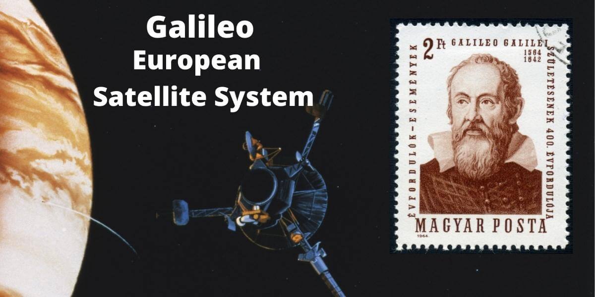
Where did the Gallileo name come from?
In the history of science, there aren’t too many names that are as famous as Galileo Galilei, who is, in many ways, the father of modern astronomy. Galileo Galilei was born in Pisa, Italy, on Feb. 15, 1564. Galileo was the first person to point a telescope up at the sky. He was the first to make a telescope for astronomical purposes and one of the first to observe the night sky with a telescope. A lot of the things he discovered were firsts – not just being the first to look at the moon through a telescope, but also the first to spot the moons of Jupiter, and the first to observe sunspots.
It was his telescopic observations that were used to support the Copernican Theory that the Earth and other planets revolved around the Sun. He is also known for his work on gravity and motion. All in all, it’s probably more than apt that the satellite navigation program is named after him, wouldn’t you agree?
Is Gallileo free?
Yes, it is free to use as it’s a public service funded by the European Union. There are no additional apps to download or subscriptions required in order to access the service.
Does my phone use Galileo?
It really depends on your handset. There are a growing number of devices (apparently over 1 billion handsets) that use the Galileo constellation in conjunction with GPS and Glonass.
You can check out the compatibility of your devices here.
Will Galileo satellites track your phone?
No, they won’t track you. Your phone cannot send your information or data back to the satellites, only emergency beacons can do that.
Where can you find official galileo program documentation?
The GSA publishes a number of documents including technical specifications, service agreements etc,